
Summit County, CO Area Map & Location Information
Located just an hour and a half away from Denver, Summit County is home to authentic Colorado mountain towns and endless, easily accessible recreation activities. Summit County consists of Breckenridge, Copper Mountain, Dillon, Frisco, Keystone and Silverthorne.
Easy Access to the Rocky Mountains
The county's six towns are all within a short drive or ride on the free bus system, which makes it a great vacation destination. Use this page to find information on and learn about the Summit County area, including elevation, mountain ranges, rivers and lakes, travel information.
Summit County Travel Information
Main Summit County Travel Routes:
- Denver to Summit County: I-70 west
- Grand Junction to Summit County: I-70 east
- Frisco to Breckenridge: CO-9
- Dillon/Silverthorne to Keystone: CO-6
- Breckenridge to Keystone: CO-9 to Swan Mountain to CO-6
Distance Between Towns & Travel Times:
- Breckenridge to Frisco: 10.8 miles, 22 minutes
- Breckenridge to Keystone: 16.4 miles, 32 minutes
- Frisco to Dillon/Silverthorne: 5.8 miles, 9 minutes
- Dillon to Silverthorne: 1.8 miles, 6 minutes
- Dillon to Keystone: 6.7 miles, 11 minutes
- Frisco to Copper Mountain: 7.4 miles, 11 minutes
Visit our directions page for directions from Denver to Summit County and transportation information.
Summit County Mountain Ranges:
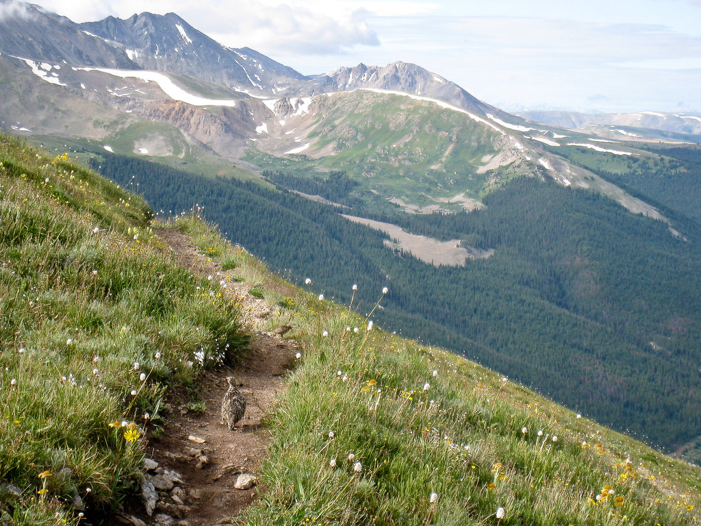 Gore Range: A 60-mile range running through Grand, Summit Routt and Eagle counties. Home to a portion of the Colorado trail and many popular hiking, biking and cross-country ski trails.
- Tenmile Range: An extension of the Mosquito Range that runs from Frisco past Breckenridge to the continental divide. Home to Quandary Peak, Breckenridge Ski Resort, Mount Royal rock climbing and many hiking and biking trails.
- Mosquito Range: A 40-mile range running from the continental divide in southern Summit County to Lake and Park Counties. Home to Mount Democrat and many popular hiking, biking and snowmobiling trails.
Summit County Elevation:
- Breckenridge: 9,600’
- Copper Mountain: 9,712’
- Dillon: 9,111’
- Frisco: 9,097’
- Keystone: 9,173’
- Silverthorne: 9,035’
National Forests:
- White River National Forest
- Arapaho & Roosevelt National Forests
14ers Near Summit County:
- Quandary Peak- Breckenridge, CO
- Mount Democrat- Alma, CO
- Mount Harvard- Buena Vista, CO
Nearby Rivers & Lakes:
- Dillon Reservoir- Summit County
- Lily Pad Lake- Silverthorne, CO
- Blue River- Breckenridge, CO
- Snake River- Keystone, CO
- Swan River- Breckenridge, CO
- Tenmile Creek- Frisco, CO
Visit the Summit County government website for open space maps and to find trailheads, rec paths, BLM land and wilderness area information. Book a Summit County vacation rental and begin planning your trip today!